
How Hurricane Erin could affect the UK's weather next week
Is some much-needed rainfall on the way?

What’s going on?
Hurricane Erin is currently north of the Bahamas. After rapidly intensifying into a category five storm over the weekend, shown in the CSU/CIRA & NOAA satellite imagery below, it has since weakened to category two.
So far, its effects on land - heavy rain, big waves and strong winds - have been peripheral, with the storm itself staying over open waters.
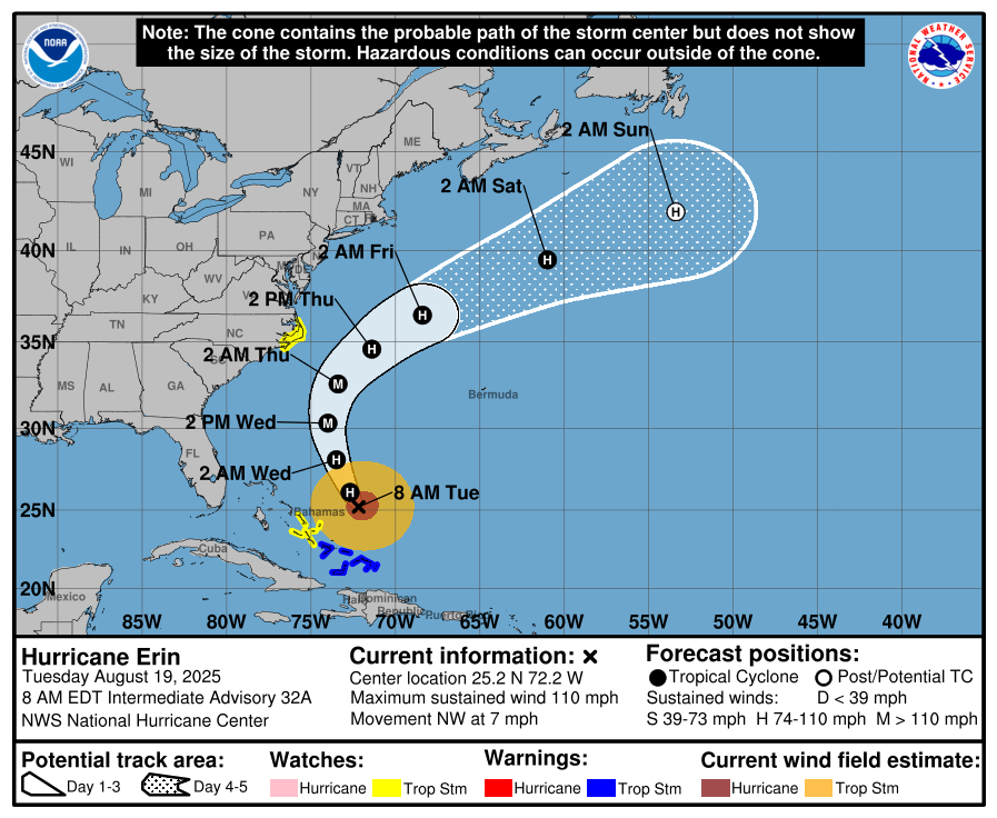
Where’s it heading next?
Hurricane Erin is predicted to journey northwards for the next day or so, before taking a hard curve towards the east into Friday - according to the latest forecast from the National Hurricane Center at the time of writing.
It’s from this point onwards that the hurricane gets caught up in the jet stream and transitions to a standard area of low pressure - losing its tropical characteristics.
Is it heading towards the UK?
The remnants of the hurricane are very likely to head towards the UK, but there’s still uncertainty about what happens as it approaches.
Some weather models bring the low pressure remnants over the UK during the middle of next week. Others have the remnants splitting and forming other areas of low pressure that affect the UK.
Despite the exact outcome still being unknown, either would bring the UK its best chance of seeing widespread rain in weeks - much-needed, given the ongoing drought.
What about bank holiday weekend?
For the forthcoming weekend, which is a bank holiday in England, Wales and Northern Ireland, it looks like Saturday and Sunday will see bright or sunny spells and just a few scattered showers.
However, later Sunday and into Monday, there are signs that showers or longer spells of rain could start to drift in from the west.
As ever, having a hurricane in the mix adds an extra layer of uncertainty to the forecast, so stay tuned for updates!